Map
Map
List of Sanctuary place names
- Festival Flat
- Pineapple Shed
- Lily Pad
- Upper shed
- Dam
- Tiny Village flat (below dam)
- Possum Shed flat
- The Cottage and immediate surrounds
- Bell's Rest
- Bell's Rise
- Yummyberry Grove
- Cottage
- Shadehouse / Veggie Patch
- Aviary
- Lemon Hill
- Base of Lemon Hill
- First Kiss Camp
- Secret Fig
- Aster
Maps
Moreton Bay Regional Council mapping for the Sanctuary, Lot 2 RP 173737 (recommended to uncheck the "Zones and Precincts" and check the "MBRC Imagery" in the Layer List)
Whole property:
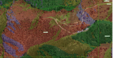
Detail with aspect (whether a slope is facing north (red), east (yellow), south (green), or west (purple)):
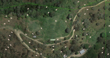
Detail:
Detail with slope overlay:
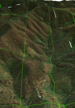
3D view:
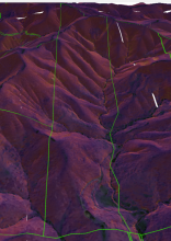
3D view with slope overlay:
Tags
None
Subscribers
None
- Last Author
- Timotheos
- Last Edited
- Jul 27 2023, 11:12
Document Hierarchy
Document Hierarchy


